Houston Downtown Map - stock illustration
A detailed map of downtown Houston, Texas. Includes roads, freeways, parks, and points of interest, all on separate layers. An extra-large JPG is also included so you can crop in to the area you need.

Get this image in a variety of framing options at Photos.com.
PURCHASE A LICENSE
All Royalty-Free licenses include global use rights, comprehensive protection, simple pricing with volume discounts available
Ōé¼300.00
EUR
Getty ImagesHouston Downtown Map High-Res Vector Graphic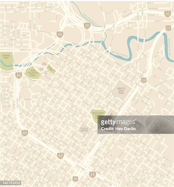 Download premium, authentic Houston Downtown Map stock illustrations from 51│į╣Ž═° Explore similar high-resolution stock illustrations in our expansive visual catalogue.Product #:165721252
Download premium, authentic Houston Downtown Map stock illustrations from 51│į╣Ž═° Explore similar high-resolution stock illustrations in our expansive visual catalogue.Product #:165721252Ōé¼300Ōé¼40
Getty Images
In stockDETAILS
Credit:
51│į╣Ž═° #:
165721252
License type:
Collection:
DigitalVision Vectors
Max file size:
3947 x 4230 px (13.16 x 14.10 in) - 300 dpi - 4 MB
Upload date:
Release info:
Model and property released
Categories:
- Map Illustrations
- Daikin Park Illustrations
- Houston - Texas Illustrations
- City Map Illustrations
- USA Illustrations
- Buffalo Bayou Illustrations
- City Illustrations
- City Life Illustrations
- Downtown District Illustrations
- Gulf Coast States Illustrations
- Highway Illustrations
- Illustration Illustrations
- Multiple Lane Highway Illustrations
- No People Illustrations
- Sam Houston Park Illustrations
- Street Illustrations
- Texas Illustrations
- Tourism Illustrations
- Transportation Illustrations
- Travel Illustrations
- Travel Destinations Illustrations
- Vector Illustrations